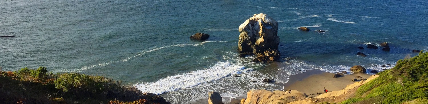
 Parque Nacional Cumbres del Ajusco protects Cerro Ajusco at 12,894. The highest point in Mexico City, forms an excellent day hike/climb. I recently climbed both Ajusco during a free morning in Mexico City. On a clear day, it offers excellent views of Mexico City and surrounding volcanoes (Izta, Popo, Nevado de Toluca). On a foggy day like mine in September, it is beautiful & moody destination that requires a bit of route finding. Although popular with local residents, I found detailed information in English difficult to find. My best source was Gaia GPS had the trail mapped. I hope my trip helps others discover this peak. It is perfect for acclimatization or a half day destination.
 Trails dot Ajusco, but the best marked route starts near Hostel Alpino Ajusco (which is found on google maps). The hostel is at 10,800 feet making for a 2000 foot climb. Not having a car, I reserved a car to drive and wait for me for the hike.
I walked the road past the Hostel and turned left into an old playground. Just past the playground is an Indiana Jones style plank bridge that has seen better days. It spans a dam and creek. I followed a trail that paralleled the creek and turned left to cross over a small dam. You’ll see the highway is you go too far. I followed a trail up the hillside until it turns into a trail between two fences. The trail ends at a road. Turn left on the road.

The road quickly forks with a log barrier on the right (south). I’m not sure of the log barriers purpose but they look like large cattle gates found on the Appalachian Trail. Take the left fork North for a more gradual ascent along a clockwise loop. The descent was steep and required attention on a wet day.
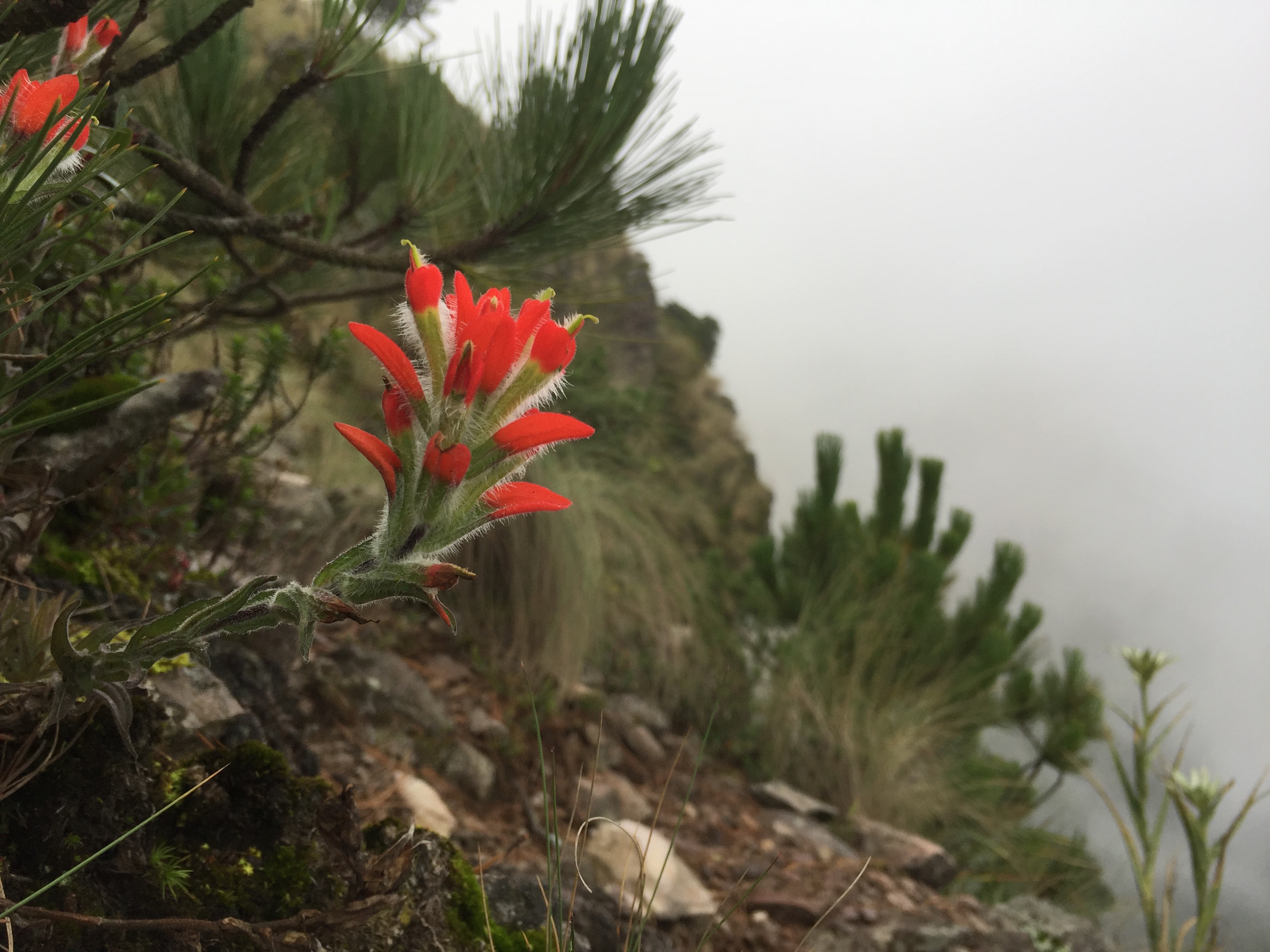
 The trail follows a pine forest and emerges on a ridge. The pampas grass on the ridge reminded me of Izta’s pampas slopes slopes. The first destination is a subpeak – Pico del Aguila – at 12,600 feet. The summit block had some fun 2+ scrambling and had 4+ crosses at the top. Pico del Aguila was my highlight. The clouds parted just enough to see my surroundings but not Mexico City.
 To get to the main peak, descend the south side of the subpeak and follow the ridge up to the very large cross on the summit of Ajusco. Follow the ridge Northwest from Ajusco for a ridge walk over 12,000 feet.

When the trail descends, it does steeply & immediately. Complete your loop back to the trail juncture with the log barriers.

For visitors to Mexico City, Ajusco is an excellent half day hike. Along with Nevado de Toluca (over 15k), Izta (over 17k), and Orizaba (over 18k) visitors have many excellent accessible climbing options.
Here’s the Gaia GPS available map for Ajusco.
